A light wind regime would persist across St. Vincent & the Grenadines over the next few days resulting in humid conditions. Occasional showers are likely tonight into the early morning period as unstable conditions cross the islands. On Thursday, cloudy conditions are forecast and there is also potential for isolated thunderstorm activity. Slight dust haze concentrations may be visible by evening. On Friday and Saturday, some showers are forecast during the afternoon period.
A light wind flow (5km/h- 20km/h) generally is forecast during the next 72 hours blowing predominantly from the east south east (ESE). Consequently, sea conditions will remain smooth to slight (0.5m-1.2m).
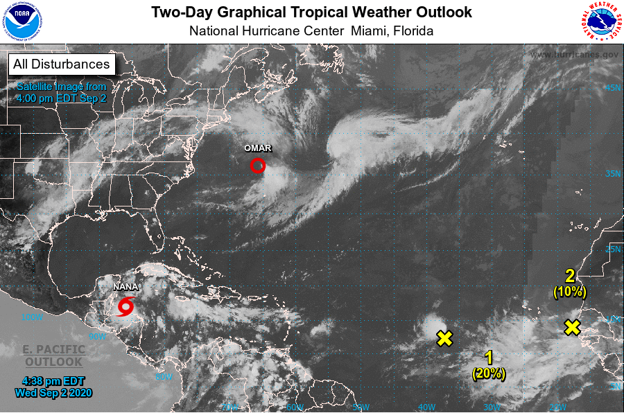
The St Vincent & the Grenadines Meteorological Service continues to monitor an area of disturbance(#1 on Satellite image taken at 4pm below)
At 2pm: An area of low pressure located about midway between the Windward Islands and west Africa is producing a small area of showers and thunderstorms. Some development of this system is possible this week as it drifts generally westward over the eastern and central tropical Atlantic Ocean.
* Formation chance through 48 hours...low...20 percent.
* Formation chance through 5 days...low...30 percent.